Vineyard mapper: from aerial image to robot mission
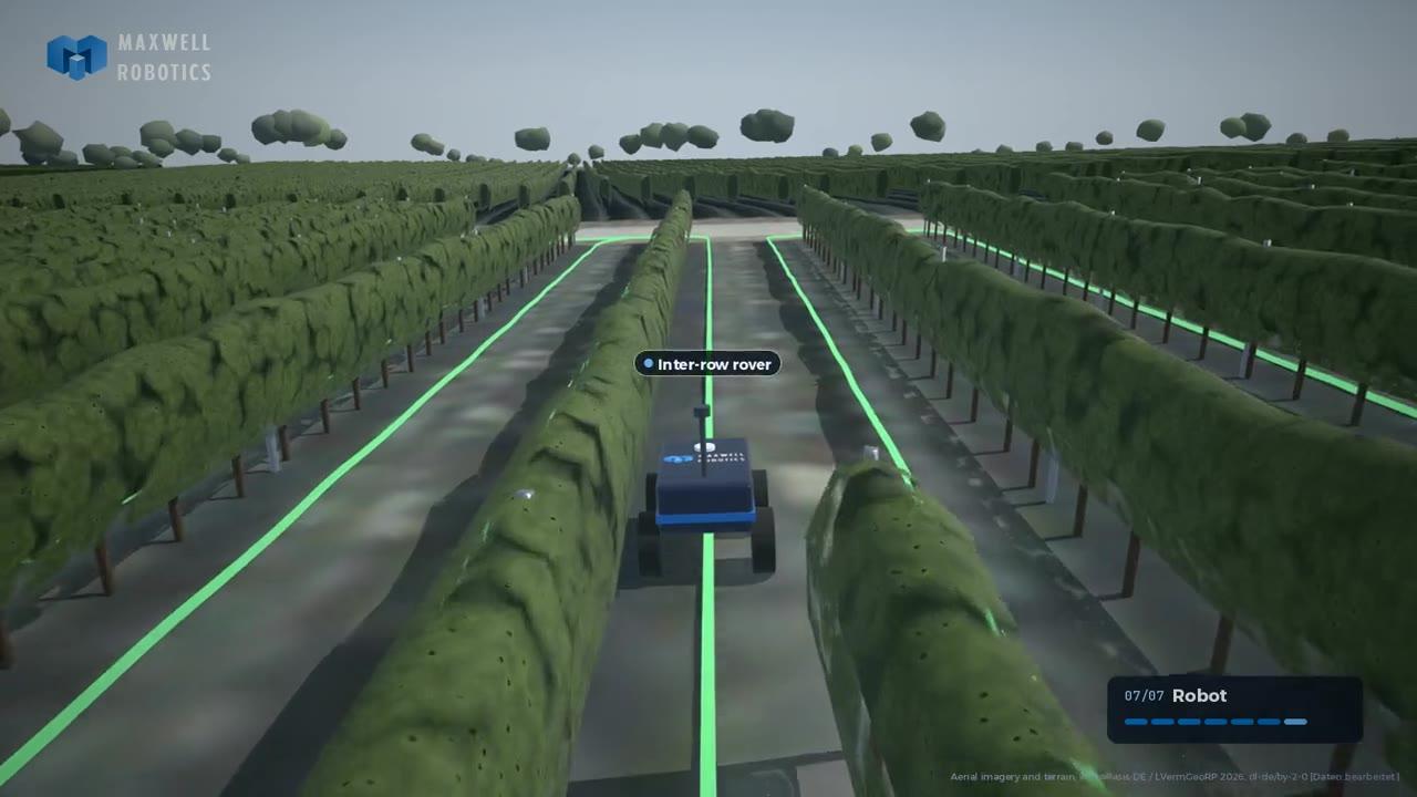
A client runs robots for spraying and harvesting in real vineyards. Before a robot can work a block, someone has to tell it where the rows are, how they are numbered, where it can turn and how to get there. We built the software that does this from data that already exists: an aerial image and a terrain model. It finds every vine row without any training data, reads slope, gaps, farm tracks and turning space, and plans a coverage mission the robot's navigation stack can drive. The customer draws a fence around a vineyard and gets a robot-ready map.
Scope of work
- Row detection from aerial NIR imagery, based on the periodicity of the rows instead of a trained model
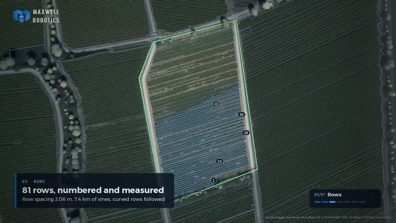
- Block, row and lane model with row numbering and headland depth
- Farm-track extraction and a route graph from the road to row 1
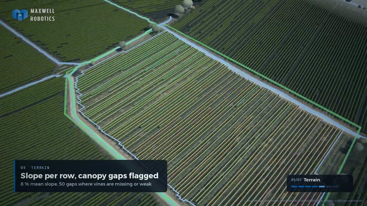
- Slope per row, canopy gaps and tall obstacles in turning zones
- Skip-row coverage mission planning with U-turns and omega turns
- Export to GeoJSON, Nav2 route graph and GNSS waypoints
- Fence-based web UI and a rendered showcase film
Key features delivered
- No training data: rows are found by their spacing, curved rows are followed
- 0.49 km² with 23 blocks and 1,340 rows mapped in about 35 s on a laptop CPU
- Missions check whether each turn fits the available headland
- Per-row slope and canopy gaps flag where vines are missing or weak
- Runs on open aerial and terrain data, no drone flight needed
- Output drops straight into a ROS 2 / Nav2 robot stack
Outcome
Setting up a new vineyard no longer means walking it with a robot or digitising rows by hand. On the test area of 23 blocks, 95 % of the detected rows lie on a vegetation ridge in the imagery, and the missions come out as numbered lanes, turn lists and waypoints every metre. The map is a global prior with an accuracy of about 0.3 to 0.5 m: the robot still follows the row with its own sensors, and the plan tells it where to go.